Link to Part 1, Part 2, Part 3, Part 4, Part 5, Part 6
It was a comparatively better night and we rose early. We had to reach Leh before evening so that we can visit hospital. The road for first 25-30 kms was good
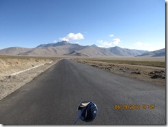
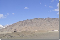
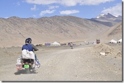
And we were thinking about our chances of reaching Leh by noon … But this did not last long and soon after the first 25 kms, the road turned sandy …and it took us close to 2 hours for next 45 kms
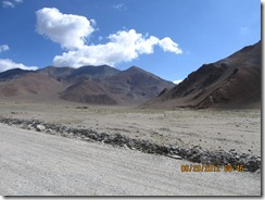
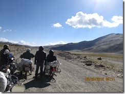
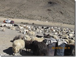
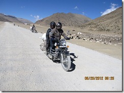
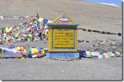
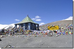
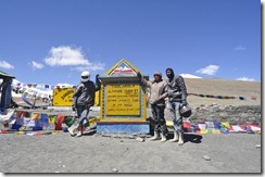
The plains were vast known as More (or Morey) plains. The road then rises and becomes the second highest motorable road in the world as it crosses Tanglang La pass (5,370 m).
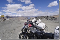
The scenery through out is second to none. The entire road passes between two mountains and as some of us will confirm, even second highest is also high enough to cause major headache (due to low oxygen).
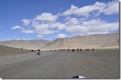
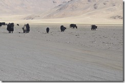
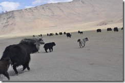
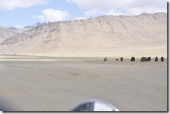
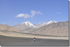
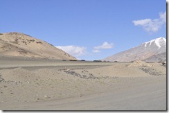
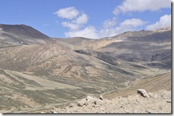
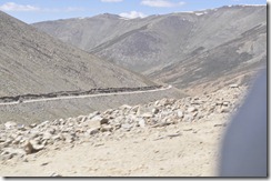
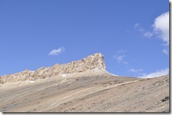
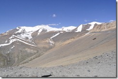
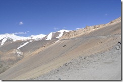
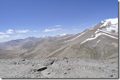
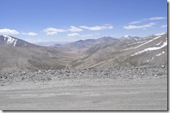
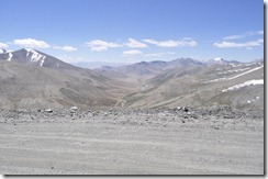
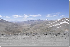
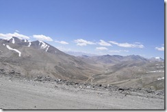
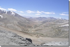
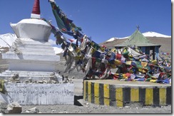
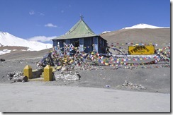
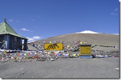
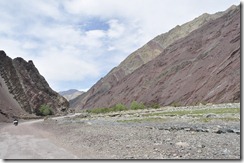
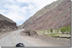
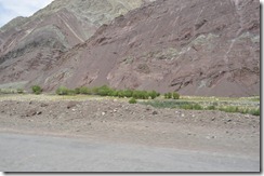
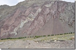
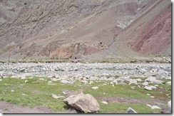
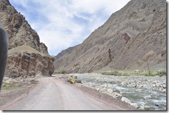
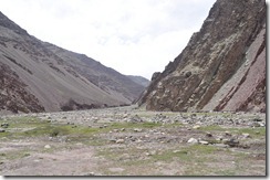
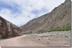
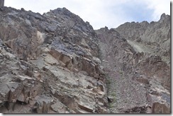
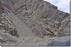
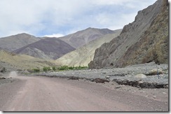
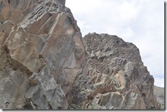
We descended and had a lunch. We discussed about the road with the hotel fellow and he confirmed that the road ahead was good. And remember ‘good’ is a relative term. You don’t know its better when compared to first stretch of the day or latter part. As we found out before we reached Upasi the entire road was same (like the second stretch of sandy road). The best part here again was the mountains and the valley which has changed color and we started to see some greenary. The mountains turned red and had a different texture altogether than what we had seen so far…
Upshi (60 kms from Tenglaln la) has a Customs and Excise taxation check post before crossing the river.
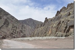
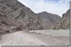
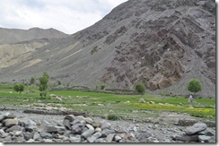
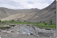
Once we crossed Upshi, the ride was smooth passing through small vileges, army camps on both sides, and then Indus River. Originating in the Tibetan plateau in the vicinity ofLake Mansarovar ,
the river runs a course through the Ladakh region of Jammu
and Kashmir , Gilgit, Baltistan and flows through Pakistan in a southerly direction along the
entire length of Pakistan to
merge into the Arabian Sea near the port city of Karachi in Sindh. The total length of the river is 3,180 km (1,980 mi) (from wiki). The river derives its name from Sindhu (sanskrit for river) and boasts tag of one of the world's earliest urban civilizations, along with its contemporaries, Mesopotamia and Ancient Egypt. The river not only gives name to the part through which if flows (sindh - now in Pakistan), but also to many parts in its south - like Hindu, India and even Indonesia.
All along this route, one thing will never stop to amaze you – Himalaya .. the mountain offers stunning view. It never ceases to amaze you till you reach Leh and the magic continues even after that
We reached Leh in time to fix-up the hotel, got X-Ray done for two injured persons, plastered Kishore’s leg and Bhavna’s Hand before heading for long awaited expensive multi-cousin restaurant without any worries about the headache, altitude and road….
Sometimes it takes a whole tankful of fuel before you can think straight !


And we were thinking about our chances of reaching Leh by noon … But this did not last long and soon after the first 25 kms, the road turned sandy …and it took us close to 2 hours for next 45 kms


The plains were vast known as More (or Morey) plains. The road then rises and becomes the second highest motorable road in the world as it crosses Tanglang La pass (5,370 m).
The scenery through out is second to none. The entire road passes between two mountains and as some of us will confirm, even second highest is also high enough to cause major headache (due to low oxygen).


We descended and had a lunch. We discussed about the road with the hotel fellow and he confirmed that the road ahead was good. And remember ‘good’ is a relative term. You don’t know its better when compared to first stretch of the day or latter part. As we found out before we reached Upasi the entire road was same (like the second stretch of sandy road). The best part here again was the mountains and the valley which has changed color and we started to see some greenary. The mountains turned red and had a different texture altogether than what we had seen so far…
Upshi (60 kms from Tenglaln la) has a Customs and Excise taxation check post before crossing the river.


Once we crossed Upshi, the ride was smooth passing through small vileges, army camps on both sides, and then Indus River. Originating in the Tibetan plateau in the vicinity of
All along this route, one thing will never stop to amaze you – Himalaya .. the mountain offers stunning view. It never ceases to amaze you till you reach Leh and the magic continues even after that
We reached Leh in time to fix-up the hotel, got X-Ray done for two injured persons, plastered Kishore’s leg and Bhavna’s Hand before heading for long awaited expensive multi-cousin restaurant without any worries about the headache, altitude and road….


No comments:
Post a Comment